Current Projects
Hawkins Irrigation Pipeline Project (FY 2024)
|
The Marsh Center Irrigating Company utilizes Hawkins Reservoir to provide water to approximately 3,220 acres of land through a conveyance system that includes 13.3 miles of open earth canals, ditches and natural stream channels. The system was originally dug by horses in the 1890s and is one of the last of it's kind in Idaho. This multi-phased project will convert the system to a gravity pressurized pipeline system, which will save significant quantities of water through the reduction of evaporative and seepage water loss along the system. It will also improve the quality of water along the system as instream watering of livestock will no longer be necessary. Excess water that is saved as a result of this project will remain in Hawkins Reservoir or be dumped into Marsh Creek at a higher quality than ever before. Phase 1 of this project will install 2 water control structures and convert approximately 5 miles of the system to pipeline.
This project is made possible by the dedicated stakeholders of Marsh Center Irrigating Company, NRCS Environmental Quality Incentives Program, and DEQ Idaho State Agriculture Best Management Practices Grant. |
|
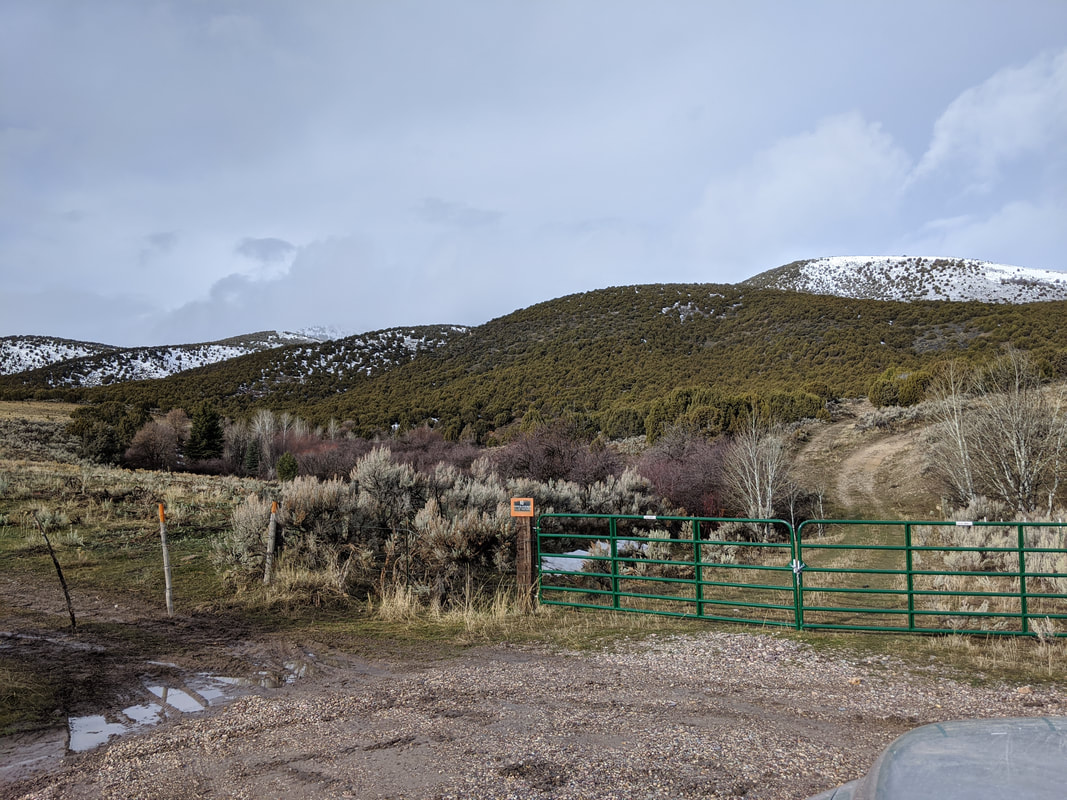
Mud Springs & Dead Horse Project (FY 2024)
|
The health of the Mud Springs area has declined overtime due to an abundance of Juniper, brush and noxious weeds decreasing the water available in the creek. Livestock and wildlife have migrated to different areas for grazing, which has led to overgrazing in sensitive areas of the terrain. This project will remove several acres of brush and install 5 connected watering systems. Overall this project will increase water in the area and allow land managers to control grazing, giving sensitive areas time to heal.
This project is made possible by the dedicated stakeholders of Marsh Valley Cattleman Corporation, and DEQ Idaho State Agriculture Best Management Practices Grant. |
|
Cohn Creek Restoration Project (FY 2024)
Cohn Creek is a second order tributary that drains into Marsh Creek. In previous years, the creek had been altered for cattle production leading to eroding stream banks, poor aquatic habitat, channel instability, and reduced water quality. This project will expand upon recent efforts to restore the creek's natural morphology through a series of stream bank stabilization activities, including vegetative bioengineering, channel bed stabilization, the expansion of riparian vegetation, and the removal of three aquatic organism passage barriers. Additionally, fence and a watering system will be added to protect to creek from cattle production and other livestock farming activities.
This project is made possible by dedicated landowners, NRCS Environmental Quality Program, FWS Partner's Program, and ISWCC Water Quality Program for Agriculture.
This project is made possible by dedicated landowners, NRCS Environmental Quality Program, FWS Partner's Program, and ISWCC Water Quality Program for Agriculture.
Completed Projects
Swan Lake Forage Kochia Project (FY 2023)
|
Junipers were removed from this project area in 2020. The removal of junipers was in collaboration with Idaho Department of Lands. Areas of bare soil are still present within the project area, since native range species haven't established after the removal of junipers.
This project will establish 5 acres of native range species and 5 acres of forage kochia. The forage kochia will serve as a fire break for this area. The forage kochia and range species will also prevent future erosion and improve water quality on Swan Lake Creek. This project will also improve forage quality for livestock, wildlife, and improve overall wildlife habitat. |
Swan Lake Forage Kochia Project In the spring after planting
Swan Lake Forage Kochia Project Before
|
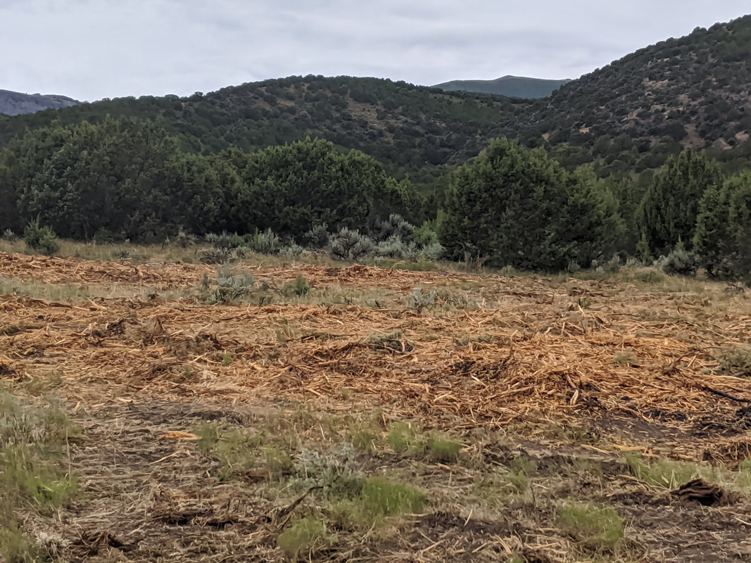
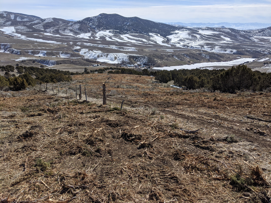
Ninemile Fuels Reduction Project (FY 2022-2023)
|
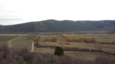
The west slopes of the Portneuf Range are utilized by private land owners as hay and grain fields as well as rangelands used by ranchers for grazing cattle. Years of fire suppression activities have allowed for the encroachment of Rocky Mountain & Utah Juniper trees minimizing the growth of otherwise healthy perennial bunch-grass/sagebrush rangelands. Wildfire is the most concerning resource issue as well as the encroachment of invasive plants, declining plant productivity and health, soil erosion, and wildlife habitat losses. The Village of Downey and it's surrounding committees depend on these lands for it's municipal and rural drinking water. Water quantity has declined over the years as the Juniper have increased. It's estimated that mature trees can use upwards of 30 gallons of water each day. The community of Lava Hot Springs rural homes (Lava Ranches) are a mere 4 miles to the northeast (upwind). The 450, 5-acre home-sites are thick with trees and accessed only by narrow winding roads, many of which have no outlet and parallel steep wooded side hills. Furthermore, this community currently has no fire suppression system of it's own and relays entirely on volunteer county fire district for protection.
This project, will enhance and expand upon the efforts of adjoining BLM and Village of Downey Projects which include fuels reduction treatment on approximately 560 acres as of January 2020. |
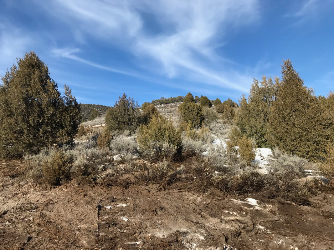
Ninemile Fuels Reduction Project Before
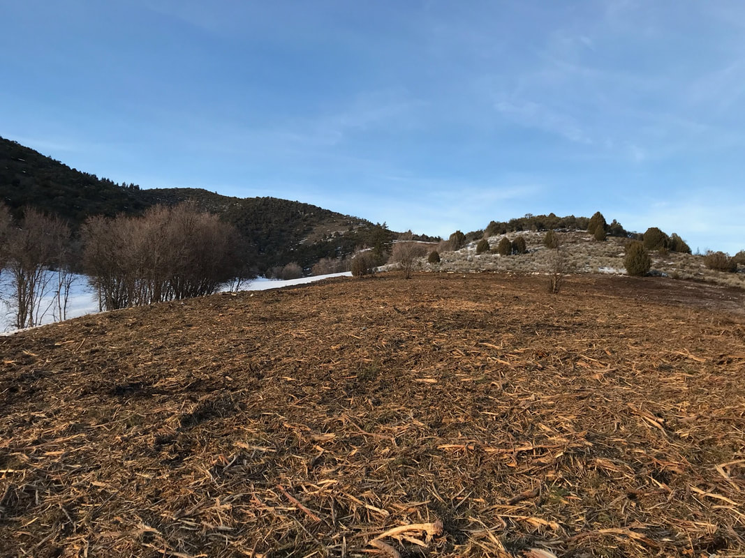
Ninemile Fuels Reduction Project After
|
Yellow Dog Creek Project (FY 2023)
|
The Yellow Dog Creek Project will improve stream bank stabilization and water quality on Yellow Dog Creek. The project includes fencing along Yellow Dog Creek to exclude livestock access to in-stream watering and the riparian area. The project also includes the removal of juniper trees along Yellow Dog Creek. Juniper removal will increase water quantity and allow the establishment of native range species. Yellow Dog Creek is currently one of the main water sources for livestock on this property. Installing off-site livestock watering system will be needed with the installation of exclusion fence along Yellow Dog Creek. A spring development, electric pump, livestock pipeline, and two watering facilities will provide adequate water for livestock.
|
|
Station Creek Fuels Reduction Project
|
The Station Creek Fuels Reduction Project is located on the south east slopes of the Elkhorn Mountains and are are utilized by private landowners as hay and grain fields as well as rangelands used by ranchers for grazing cattle. Years of fire suppression activities have allowed for the encroachment of Rocky Mountain & Utah Juniper trees minimizing the growth of otherwise healthy perennial bunch grass/sagebrush rangelands. Wildfire is the most concerning resource issue, along with the encroachment of invasive plants, declining plant productivity and health, soil erosion, and wildlife habitat losses. Water quantity has declined over the years as the Juniper have increased. It's estimated that mature trees can use upwards of 30 gallons of water each day.
This project, will enhance and expand upon the efforts of adjoining USFS Rowley Canyon Wildlife Enhancement Project which aims to treat 1,666 acres. Restoration and Fuels Reduction work will begin in the Summer of 2020 with project completion in Spring 2021, or as conditions allow. This project is funded in part by the Idaho Department of Lands in cooperation with the USDA Forest Service. Please contact our office with questions. |
|
Cottonwood Valley Restoration Project
|
The Cottonwood Valley Restoration Project removed hazardous fuels from nearly 200 acres of privately-owned grazing lands in Southern Bannock County approximately 7 miles northeast of Swan Lake, Idaho and 12 miles south of Lava Hot Springs, Idaho. Private landowners depend on this land for livestock grazing in the Spring, Summer, and Fall months. As a result of many years of fire suppression activities, Rocky Mountain & Utah Juniper trees have encroached on otherwise healthy perennial bunch-grass/sagebrush rangelands. Wildfire is the most concerning resource issue as well as the encroachment of invasive plants, declining plant productivity & health, soil erosion, as well as wildlife habitat losses. Restoration of these lands supports the Bannock County Comp Plan and includes the removal of invasive Junipers in areas that still contain healthy intact perennial rangelands. By treating the Juniper trees, it is expected that healthy, intact perennial bunch-grass rangelands will remain resilient, and less susceptible to catastrophic wildfires in the future as well as sustain livestock grazing into the future. If the areas remain untreated, Juniper encroachment will continue to worsen, increasing catastrophic wildfire risk, and further degrade the rangeland. If a wildfire was to start on this property, it could travel easily to the North and impact the town of Lava Hot Springs which is a mere 12 miles away from the project area.
Restoration and Fuels Reduction work will began in the Fall of 2019 with project completion in Spring 2020. This project is funded in part by the Idaho Department of Lands in cooperation with the USDA Forest Service. Please contact our office with questions. |
|
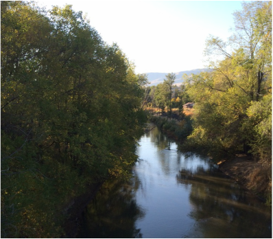
Lava Trails Stream Bank Restoration Project
|
Video courtesy of Kit Tillotson
|
The Lava Trails Project is located within the City Limits of Lava Hot Springs, Idaho. The project runs from the east to the west as the river flows through town. This project is bounded on the East by the Fish Creek Range and the West by the Marsh Valley. The Portneuf River splits the Portneuf Range at the City of Lava Hot Springs. Lava is known worldwide for its famous “hot pools” and Olympic sized swimming center. Lava is a tourist destination with approximately 60,000 people visiting in the summer months alone.
To read more, open the documents below or for the most current updates on construction check out our Facebook page.
| ||
Sacajawea Park Improvement Project
|
Sacajawea Park is located on the banks of an un- channeled portion of the Portneuf River in Pocatello, ID. The park has wonderful paved trails and great habitat for nesting waterfowl. The park is used for a number of activities including, casual family cycling, walking, running, sightseeing, bird watching, fishing and education. The park is also a popular spot for local photographers. This project aims to improve accessibility, habitat and aesthetics for those that visit and call the park its home.
To read more, open the document below.
|
| ||
Pebble Creek Project
|
The Pebble Creek Project was nearly ten years in the making when it finally came to life 2011. Pebble Creek, a critical spawning tributary for Yellowstone Cutthroat Trout (YCT), runs east from the Portneuf Range through a deep and fairly narrow canyon ending up at the Portneuf River roughly 7 miles from where it begins. The Portneuf Range boasts mountain peaks with average heights of nearly 9,000 feet in elevation, which are prone to heavy snowfall throughout the winter months. Snow melt has a tremendous effect on the flow in Pebble Creek especially in the thawing months.
To read more, open the document below.
| ||
